
- Least-Conflict Solar Siting |
- Members
Members
Contributing to conservation one map at a time.
400 new members joined in the last month (5089 this year).
In the last month, members have created 116 new datasets
Top Contributors This Month
 MemberWe provide advanced conservation science, technology, and planning to empower our partners in solving the world’s critical ecological challengesJoined November 25, 2009
 MemberNoneJoined May 9, 2025
- MemberI am an engineer, working on an ancient Algonquah native land project.Joined January 4, 2025
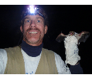 MemberI helped Conservation Biology Institute to vision the Bat Acoustic Monitoring Portal and am your go to source for the the bat-related questions you may have about BatAMP as well as the first person you should contact with questions about uploads, permissions etc.
More broadly, I am an...Joined January 7, 2011- MemberI work in my agency's program that focuses on ecosystem and landscape conservation. My position entails developing science-based publications that help guide land use planning decisions and particularly decisions made by jurisdictions all across Washington State.Joined January 3, 2019
- MemberNoneJoined April 11, 2025
 MemberDr. Gallo is an applied scientist with emphases in conservation GIS, decision support systems, and public participation in conservation planning and management, including citizen science.
He started his career as an ecologist surveying for endangered species, developing habitat relationship models,...Joined November 18, 2010- MemberRegional ManagerJoined November 16, 2023
Based on organizations from member profiles
New Members
- MemberRetired Natural Resources EmployeeJoined June 16, 2025
 MemberMeg Harris joined Triangle as a Managing Associate in January 2023. She brings over ten years of experience in natural resources science and policy and has a strong scientific background in environmental toxicology and experience coordinating complex, multi-stakeholder partnerships.Joined June 16, 2025
- MemberNoneJoined June 16, 2025
- MemberEstudiante de AgronomíaJoined June 16, 2025
see more

Why become a member?
Explore and access content
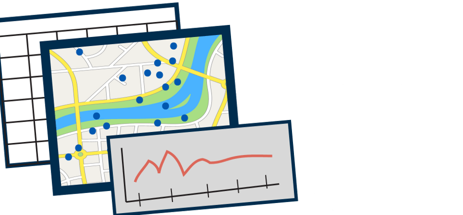
- Visualize data interactively
- Download scientific data
Create new content
- Publish your spatial data
- Add drawings, buffers, and comments
- Save and export web maps
Participate in groups
- Manage access and privacy
- Participate in data reviews
- Share expertise with peers